
NASA FIRMS fire maps: understanding satellite detections
NASA FIRMS distributes satellite observations of active fires and thermal anomalies. A point marks a detection in a satellite pixel; it is not automatically a confirmed fire incident or an exact fire boundary.
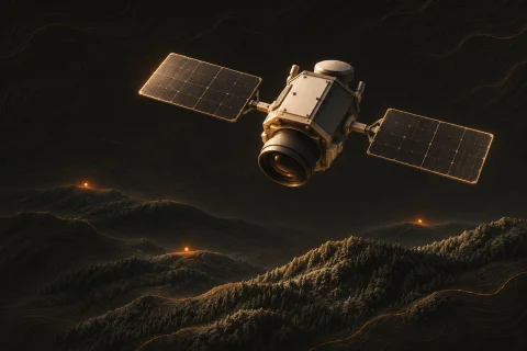
What a point on the map represents
MODIS and VIIRS instruments detect thermal signals. Vegetation fires are one possible source, but industrial heat sources, gas flares and volcanic activity can also produce detections.
The point represents a pixel location. Pixel size and viewing geometry limit precision; a marker should not be interpreted as a measured fire perimeter or the exact position of flames.
Why a visible fire may be absent
Detection depends on the satellite observation time, the fire’s size and intensity, clouds, smoke and sensor characteristics. A short-lived fire may occur between observations or be obscured.
The observation must also be processed and delivered. A refreshed map is not live video, and an empty area on the map does not establish that there is no fire.
Time windows and repeated detections
On SaveEcoBot, inspect a point’s observation time and source, then check the selected period. The time of satellite observation can differ from the time at which the website received or displayed the data.
Several points may refer to the same fire, and one fire may be detected on multiple passes. Counts of satellite detections are not interchangeable with official counts of separate fire incidents.
Using wind and satellite-pass information
Where available, wind layers and satellite-pass information help explain the observation context. Modelled wind is not a measured smoke plume, and a predicted overpass does not guarantee a usable fire detection.
Compare observations over time and consult local official information before drawing conclusions about a specific event. For an immediate fire or smoke threat, use the responsible emergency services rather than waiting for a map marker.